New photos, video show Big Isle lava flow advancing


USGS / HAWAIIAN VOLCANO OBSERVATORY
The flow front was supplied by a narrow channelized section on the steep portion of the pali Wednesday.

USGS / HAWAIIAN VOLCANO OBSERVATORY
A mango tree is surrounded by the ‘a‘a flow Wednesday.

USGS / HAWAIIAN VOLCANO OBSERVATORY
A close-up shows the rocky ‘a‘a lava at the front of the flow.

USGS / HAWAIIAN VOLCANO OBSERVATORY
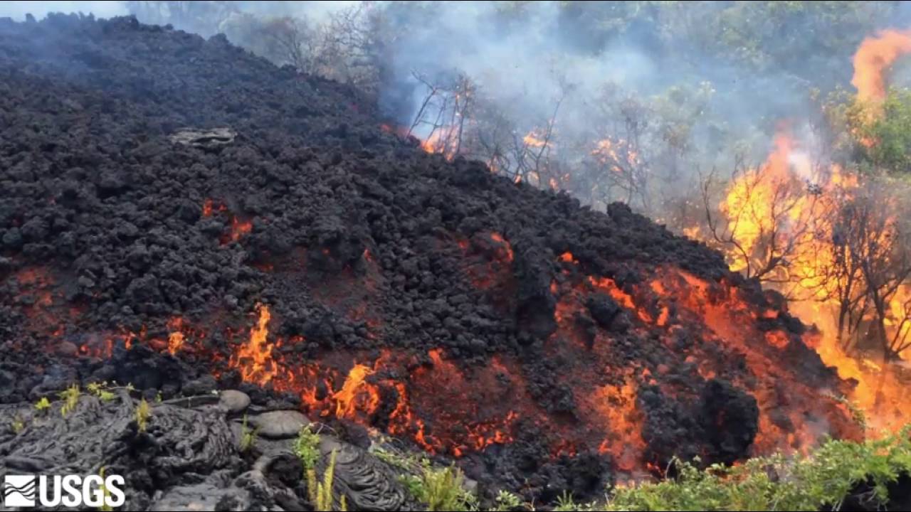
Another view of the flow front, contrasting the hot fluid core of the flow (red) with the brittle clinker (black) that forms the flow exterior.

USGS / HAWAIIAN VOLCANO OBSERVATORY
The lava flow front approaches another mango tree on Thursday.
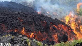
The Hawaiian Volcano Observatory released new photos and video showing an ‘a‘a lava flow burning through forest in a kipuka and moving quickly through the steep slope of the Pulama pali Wednesday.
The photos show the lava reaching the base of the pali to a coastal plain created by previous lava flows. The flow burns a mango tree and other vegetation as it advances.
The lava is now about 2.2 miles from the ocean, but geologists said the advance of the flow is likely to slow on the flat ground of the plain. The lava advanced about 0.4 miles between Tuesday and Wednesday as it moved down the pali and is now about 4.7 miles from its origin on the east slope of Pu‘u ‘O‘o. The flow, which began on May 24, had been advancing at a rate of about 300 feet a day before it reached the pali.
The county is reopening a lava viewing area in Kalapana today from 3 p.m. to 9 p.m. so people can view the lava from afar, in an area with parking.
The last time the lava viewing area in Kalapana was open was in 2013, when lava went into the ocean, following the 2011 Peace Day flow.
Visitors can also walk up to 3 miles along an emergency access road to the entrance of the Hawaii Volcanoes National Park. The gravel road was built through old lava flows that had covered Highway 130 and connects what’s left of the paved highway to Chain of Craters road in the national park.
It was constructed last year as an alternate route when lava threatened to cross Highway 130 in Pahoa and cut off part of the town from Hilo.
Hawaii County Civil Defense officials said the road will not be open to vehicle traffic and urged pedestrians who want to make the hike to come with proper footwear, water and sunscreen during the day, and warm clothing at night.
The lava is also visible in the distance from scenic lookouts on Chain of Craters road in the national park.
A spokeswoman for the park said it is possible to hike to the lava flow in the park, however the hike is not for beginners and there are dangers from sharp, hardened lava rock.
Jeff Sutton, the acting scientist in charge at the observatory, said there are other dangers to hikers trying to get close the lava, including methane gas explosions caused by the ignition of gas from burning vegetation covered by the lava.
3 responses to “New photos, video show Big Isle lava flow advancing”
Leave a Reply
You must be logged in to post a comment.


Caldwell and his cronies better start collecting that lava and store it next to the rail cars for the next 4+ years since it’ll likely be the only source of power to propel the steam powered locomotive due to unresolved disputes as to what will actually power our future $11 billion dollar choo-choo.
Stick to the topic! This article has NOTHING to do with rail you eejit.
very lovely scene