Weekend storm to deliver waves up to 60 feet, coastal flooding, damaging wind to Hawaii

COURTESY NOAA
An unusually strong storm is approaching the islands from the north, promising huge surf and powerful winds.

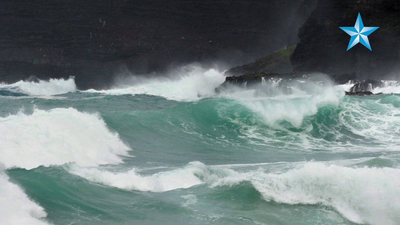
STEVE FANNING / SPECIAL TO THE STAR-ADVERTISER / January 2018
High surf is expected to pound the north shore of Oahu this weekend. Shown here is Oahus Ke Iki Beach in January 2018.
An “unusually strong” storm system is bearing down on the Hawaiian islands from the north, promising life-threatening surf as high 60 feet, “unprecedented” coastal flooding, damaging winds, and heavy showers this weekend, forecasters warned today.
“Overall, this low is shaping up to be a high-impact event, bringing multiple weather hazards, and significant threats to life and property,” said forecasters with the National Weather Service in Honolulu, which has issued a host of warnings and advisories.
“The storm will send a powerful swell toward the islands that will impact exposed north- and west-facing shores with very high surf,” forecasters said. “Additionally, the combination of strong onshore winds and high surf will increase the potential for significant coastal flooding that could lead to property damage, road closures and beach erosion.”
The weather service bulletins include:
>> Extreme surf: A high surf warning is in effect until 6 a.m. Monday with waves up to 30 feet today, 35 feet Saturday, and 40 to 60 feet Sunday along north- and west-facing shores of Niihau and Kauai, and northern shores of Oahu, Molokai and Maui. The surf is also expected to climb up 20 feet today, 25 feet Saturday, and 30 to 40 feet Sunday along exposed western shores of Oahu and Molokai. Forecasters call the coming swell “extreme,” adding “expect ocean water surging and sweeping over beaches, coastal benches, lava flows, and roadways, creating the potential for significant damage to coastal properties and infrastructure, including roadways.
“Coastal evacuations and road closures are possible. Large breaking waves may affect harbor entrances and channels with significant damage possible to docks, piers, ramps, and boats.”
They say “only highly experienced persons should enter the water. Inexperienced persons should remain off beaches and adjacent beachfront areas. Large breaking surf, significant shore-break, and dangerous currents make entering the water very hazardous. Anyone entering the water could face significant injury or death.”
The weather service also warns of potential “extreme harbor surges” in north- and west-facing harbors.
>> Hazardous winds: Forecasters have issued a high wind advisory, predicting north winds of 20 to 30 mph with gusts up to 50 mph for Niihau, Kauai, Oahu, Molokai, Lanai, Kahoolawe and Maui. “Winds will be strongest over and downwind of higher terrain, through valleys, and in areas near the coast,” they said. The winds are expected to increase this afternoon through 6 a.m. Saturday. Winds may drop Saturday before increasing again late that night and into Sunday.
“Winds this strong can bring down tree branches and cause local power outages. These strong winds can cause car doors to slam and make driving difficult, particularly for high profile vehicles,” forecasters warn.
For the Hawaii island summits, the weather service issued a high wind warning until 6 p.m. today and a high wind watch from Saturday morning through Monday afternoon. Westerly winds from 40 to 60 mph and gusts up to 70 mph are expected, possibly through Monday.
>> Rain showers: The weekend forecast says “periods of showery weather will impact the islands with the showers favoring north- and northwest-facing slopes and coasts,” with some showers spreading into leeward areas. “Intense fast-moving rain showers or squalls may bring very strong and damaging winds as the storm makes its closest approach.”
A small-craft advisory and gale warning have also been issued for the waters surrounding the islands. “If your plans include marine activities, you may want to consider postponing them,” forecasters said.
High temperatures in the mid-70s and lows in the 60s are expected this weekend for Honolulu.


